Wednesday, September 6, 2023

Driving the NC500: Lochcarron to Gairloch

 Another beautiful day greeted us upon waking, 

and after a delicious and plentiful breakfast at our B&B, we set off on our NC500 adventure for the day. 

As I had mentioned in my previous blog, we had decided to explore this area by segments rather than driving on a particular route.   We had to retrace some of our travels from yesterday, but the morning view along Loch Maree was quite different with a mist hanging just above the water.  It certainly did make a stunning photo. 

As we were driving along, we began to encounter segments of road where it narrows to a single track, with a lay-by for passing every few hundred feet.  It was obvious that we were heading into the "meat" of the NC 500.  

We made a quick stop in the village which features quaint white houses lining the road opposite the loch.

Quite scenic, don't you think?

From here it was just a few miles to the beginning of the famed "Bealach na Ba" pass.  The word translates "Pass of the Cattle", and it was originally built in 1822 for the purpose of just that.  It has long since been a single track road that one can transverse in either direction.  It rises in elevation to well over 2000 feet, and many consider it to be a challenge to drive.  

But having conquered the Apache Trail in Arizona, as well as driving "The Struggles" in the Lake District, we felt no worries in our decision to drive this road and were thrilled to have such a beautiful day to enjoy the views.  

We turned onto the highway and began our slow ascent to the top, traveling from east to west. 


We found ourselves surrounded by some magnificent mountains along the way.


To be quite honest, the road in itself is not all that difficult to maneuver as long as one maintains a reasonable speed and keeps to hands on the wheel, as there are numerous hair pin curves along the drive. 

It is a single track road, which means that cars in both directions must share the single road.  So, one must be observant enough to watch for traffic coming from a distance, and look for the lay-by to tuck into in order for the opposite car to pass.  It really should be a simple process, right?  And, for the most part, it was, with the opposite vehicle respecting the road space, and drivers waiving a friendly hello as they pass. 

But then you occasionally get this: 


A camper van that is explicitly mentioned as not suitable on signs posted at either end of the pass. 

It's not all that clear here, but we are perched on the edge of the cliff, and of course you know who is on the cliff side (I didn't look down).  We are driving a small car and there was just enough room for that van to pass us on the road.  We had several similar instances, and I will admit that I was a bit annoyed. However, I was very grateful for the small car that we are driving, and can't even imagine what would happen if a camper van was going in both directions and they needed to pass each other!  That might certainly be a disaster!

Interestingly enough, most of the drivers that we encountered were on our ascent to the top.  The decent to the west went relatively smoothly and you can see the beauty that was the reward. 


Absolutely stunning, don't you think?

We headed to Applecross for a few quick photos, admiring the Isle of Skye in the distance.


Then we began the drive along the coast, but first we stopped to take a peek at the Abbot's stone that has stood in this churchyard since 801.  It originally marked the grave of Ruaraidh More MacAgon, the Abbot of Applecross.  The markings aren't real clear, but one can definitely see the imprint of a Celtic Cross on the marker. 


Our drive along the coast presented one awesome view after another.


And there were some other interesting diversions as well.


We stopped in Shieldaig where we enjoyed some treat's at Nanny's for a break.

That is called an Affogato, vanilla ice cream drenched in espresso.  What a treat that was!

The village is quaint and a beauty to explore. 


We chatted with a local who suggested that we take a wee walk behind the school, up a hill for some better views.

And she was right!  They were magnificent.


Moving along, we headed along the coast and stopped to take this photo that shows the tiny village of Torridan just at the base of that huge series of mountains. 


Believe it or not, the road took us around the lock directly to that tiny village.  Little white houses were once again nestled between a loch and an impressive mountain.  Quite the scene, for sure.


By now, we had come nearly full circle and were headed back to Gairloch, where we began the day.  

Along the way, we made a quick stop to Victoria Falls, named as such because Queen Victoria had once visited there. 


The picture really doesn't do it justice.  It really is a very long and lovely waterfall within easy walking distance from the road.  

Dinner was at the Old Inn just on the edge of Gairloch. Take a peek at the lovely bridge and you will spy Marty attempting to scout out some fish in the water flowing beneath it. 

The only fish he spotted for the day was on his dinner plate as he ordered the local special for the day:  Lemon Sole.

Day two exploring the North Coast 500 has come to an end.  We will be leaving this lovely B&B here in Gairloch and heading north.  It looks like another glorious day just might await us.

I'll be sure to keep you posted! 


Tuesday, September 5, 2023

Exploring the NC500: Waterfalls & Gardens

 Today was the day when we left Kingussie and headed NW to begin our travels along the Scottish Highlands NC500!

For those unaware, it is NOT a raceway, but rather, a stretch of road in Scotland located in the northwest section of the mainland.  The suggested route is a circular section of approximately 500 miles, with a good part of it running along the coast, thereby giving it the acronym of NC500.  But rather than stick to a strict road schedule, we will be visiting various places of interest that one can find easily from the route. 

Technically, the starting (and ending) points are in Inverness.  But we visited that fair city several years ago on one of our adventures, so we chose to just bypass that and head first thing to Rokie Falls.  

We had no problem finding the parking lot, as it is easily marked on the roadway.  It just so happens that we had an early start, so we arrived when the lot was still relatively empty.  We headed on the "Salmon Trail" to see exactly what these falls had to offer. 


The trail was easy to maneuver for the most part, but I was glad that I had brought my walking sticks as there were some steep areas as well as rocky steps where they came in handy.  

It wasn't far until we came to a wooden viewing station where there is a placard explaining the life cycle of a Salmon.  Seemed appropriate considering we were on the trail by that name. 


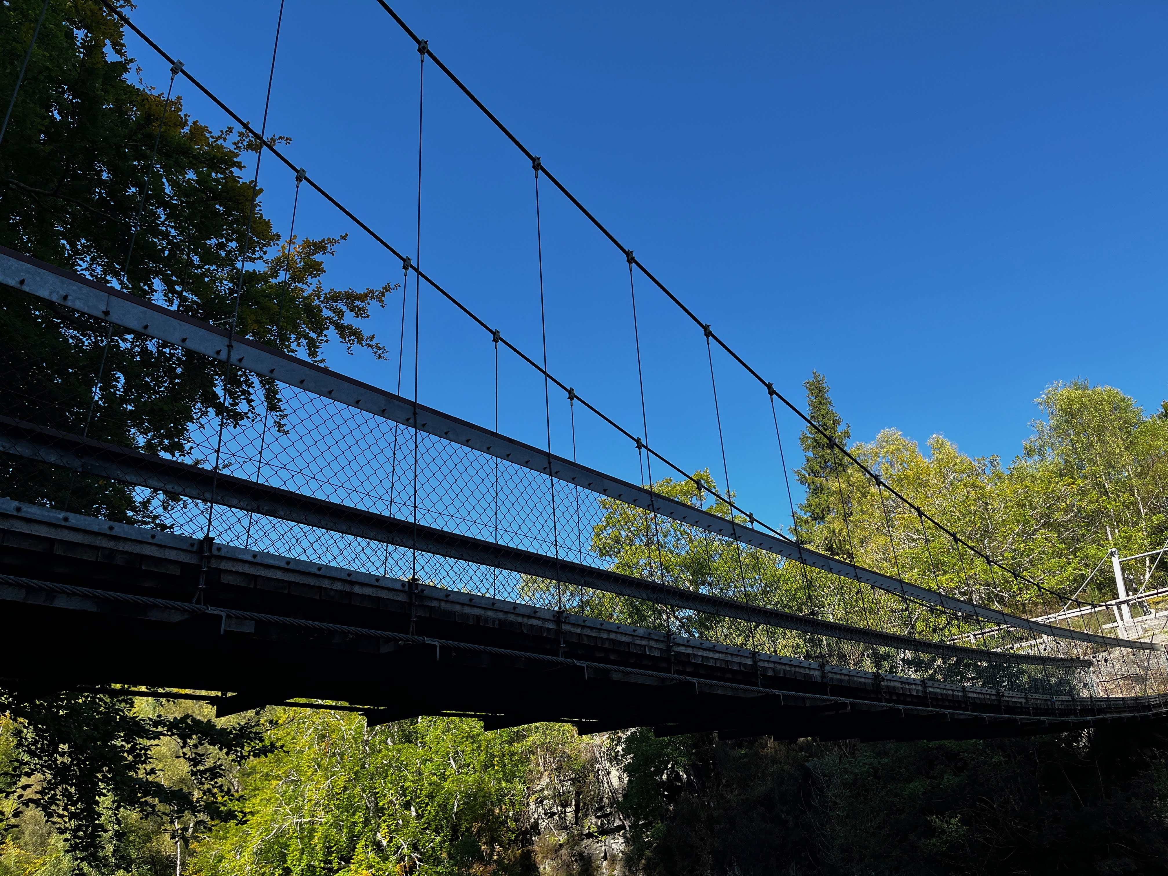
The trail continued down some steep steps to a suspension bridge over the water. 

 I will admit that I had been skeptical about transversing it,


but I actually found it to be quite stable, and even managed to get some photos from the middle,


including a selfie by Marty.

And here's a view in the opposite direction.


A short walk along river on the opposite side highlighted much of the beauty. 


Marty had spied an older gentleman who was attempting to fly fish for Salmon near the bridge, and the two of them struck up a conversation.  (Do you find that to be surprising?) 

We were headed back over the bridge to return from whence we came, when I looked over and spotted that same gentleman crawled out on a rock, flicking his fly rod back and forth relatively close to the falls. 


I'll admit that my heart might have skipped a beat seeing him precariously perched so close to the falls.  But as I watched his fly touch the water, I saw a Salmon leap about 3 feet or more into the air!  It was pretty amazing.  Marty spotted them as well, and soon we were watching the random fish attempting to make his way up the falls.  Marty did try to get a video of the moment, but that didn't pan out, and more people were showing up to walk across the bridge, so we decided to head on.  We'll have to be content with our memories, I guess. 

We headed back out on the road west, and I was actually surprised to see that it was easy to drive still at this point.  I had expected narrower roadways, although I'm sure we will be experiencing that tomorrow. 

We stopped in Kinlochewe at the Beinn Eighe Visitor Center.   The center itself appears to be an old crofting house.


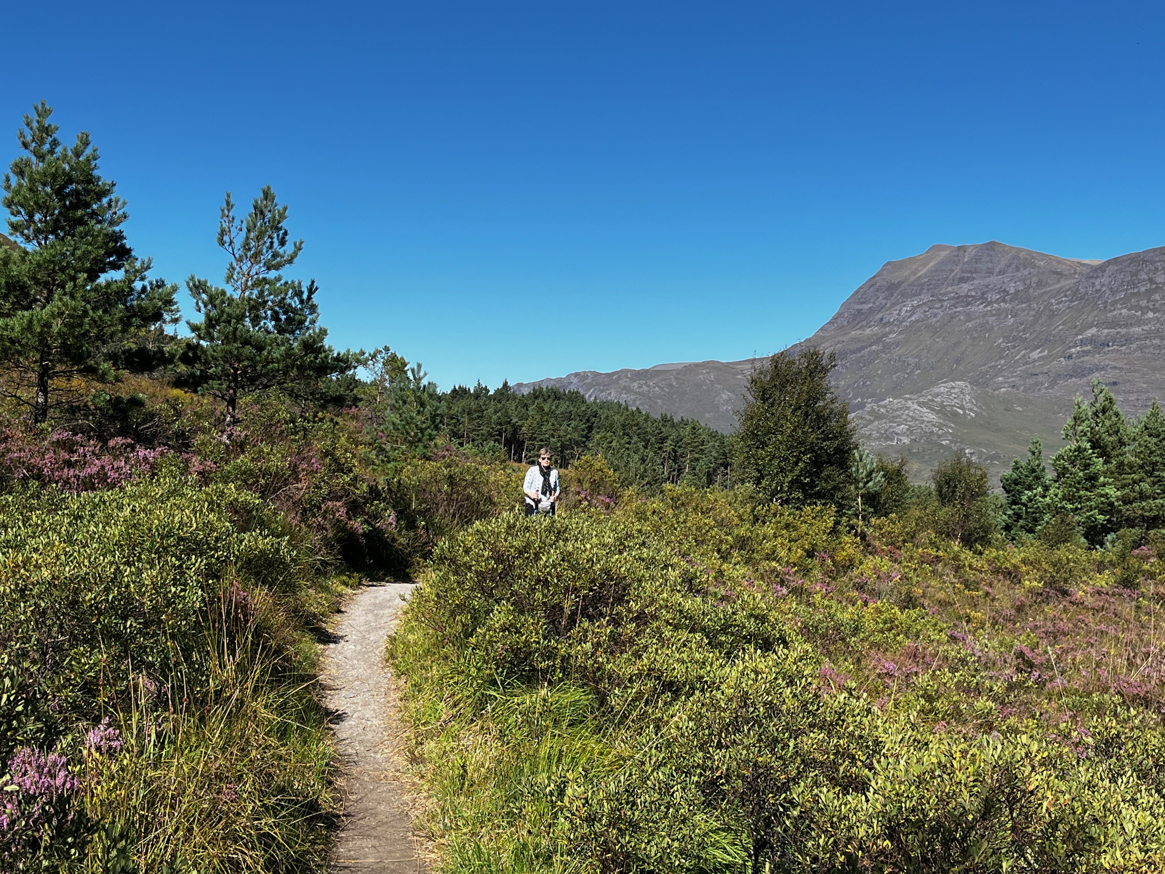
Inside there is a lot of information about the protected area as well as suggested walks to take.  I spotted the description for the Buzzard Trail, and it appeared to be perfect for what we felt up to seeing today. 


It claimed to be a relatively short walk that would result in some spectacular views.  I can say that it satisfied both of those criteria. 


This time I actually needed the hiking poles as the ascent to the top was rather steep in spots.  They're not the easiest items to travel with, as they must go into checked baggage, but they sure do come in handy when you need them!

From here, we once again hopped in the car, this time heading northwest to the Inverewe Gardens.  This is a National Trust of Scotland site, and since we have free entrance with our Royal Oak membership, why not check it out?

The gardens are located right alongside Loch Inver, thereby accounting for the name. 


In 1863, the grounds were purchased for  Osgood Mackenzie as a gift from his mother. He used the opportunity to plan and develop gardens, as well as historically preserving the wooded area nearby.  

Due to the gulf stream that heads along the coast, this particular area has thriving tropical plants that one would never expect to see in Scotland!


It truly was amazing.  And, you must admit, we are so lucky to have once again had such a brilliant day of sunshine and blue skies!

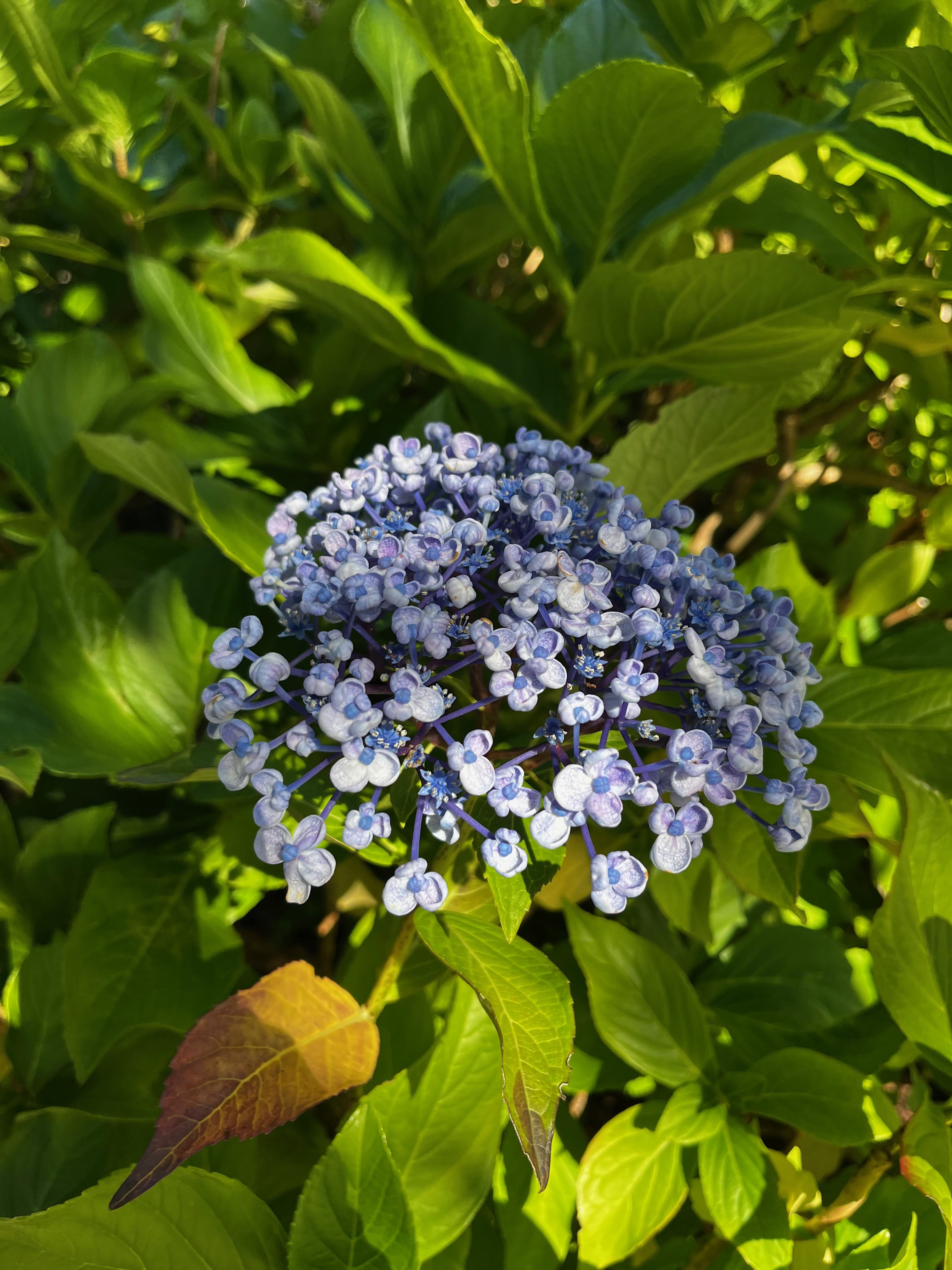
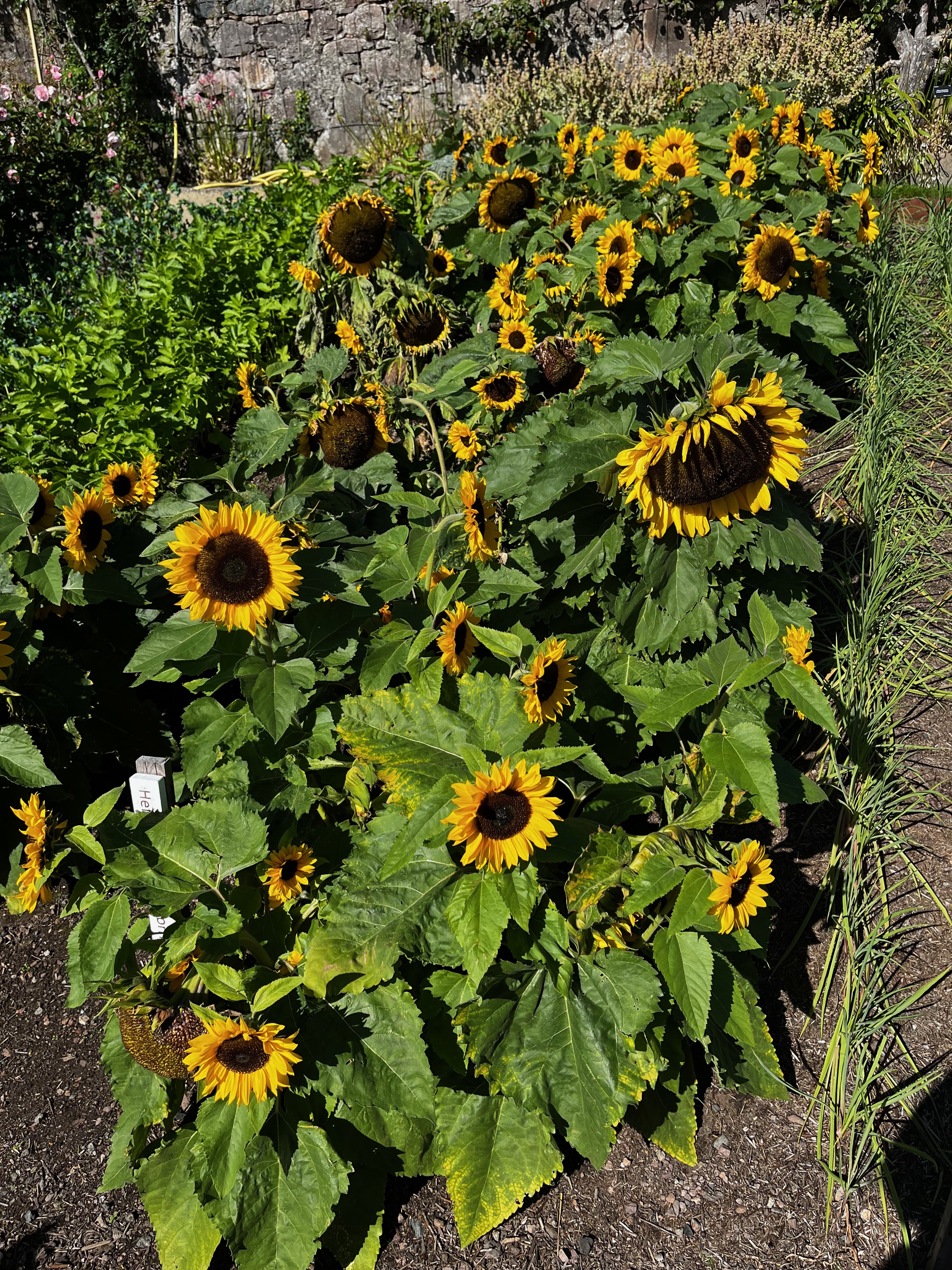
The walled garden featured many different types of flowers which one would expect to find in a garden.


But views unlike any other!


Add to that some entertainment offered by sunbathing seals, and I'd say that we had one awesome day!


We spent a couple of hours walking through the preserved woodlands, enjoying the scenery, and trying to decipher the map handout.  I had to laugh when I spotted another couple seemingly having the same issue of trying to determine just where we were on the map.  We both decided that the map was falsely misrepresented, and it had nothing to do with our map reading skills.  That was a relief!

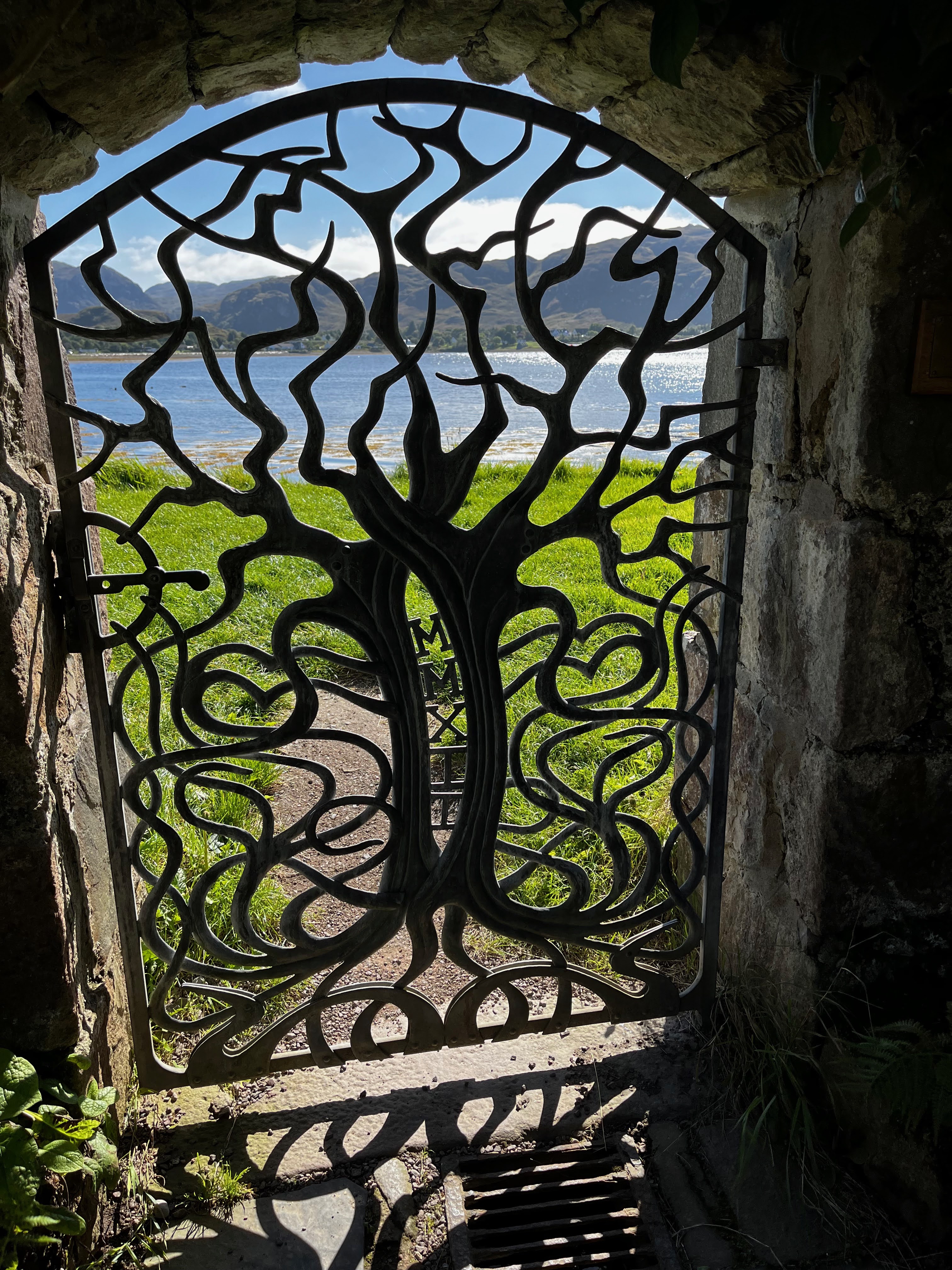
It was time to head to our B&B, located in Gairloch.  I must say, the view from this place is outstanding!


I knew Marty would like it here when I spotted this very entertaining sculpture on the lawn.


That's one happy guy!

After checking into our comfy room, we chose to walk to dinner, as the place is only half a mile away.  As you can see, the views are breathtaking.


I'm not sure that it gets much better than that, but I'll be able to confirm that opinion tomorrow.

Thanks for following along!  Until tomorrow...